
A weather model is a computer program that simulates the evolution of the atmosphere based on observational data (ground stations, satellites, weather balloons, radars). The two most consulted global models are the GFS (Global Forecast System, operated by NOAA in the United States) and the ECMWF IFS, commonly referred to as “Euro” (operated by the European Centre for Medium-Range Weather Forecasts). Comparing their reliability requires moving beyond the singular verdict of “one is always better than the other.”
Deterministic Outputs and Ensembles: Two Different Readings of the Forecast
Before comparing GFS and Euro, it is essential to distinguish between two types of outputs. The deterministic output produces a single trajectory: one scenario of temperatures, wind, and precipitation. This is the map that most consumer applications display by default.
The ensemble outputs work differently. The model is run several dozen times with slight variations in the initial conditions. If the majority of the members converge on the same scenario, confidence is high. If the members diverge significantly, the situation is uncertain, regardless of the model.
Limiting oneself to the deterministic output to decide which model “is right” is akin to judging a movie based on a single frame. Comparing the ensembles of the GFS and the IFS, and especially observing their convergence or disagreement, provides much more actionable information for decision-making. To delve deeper into this comparison, the GFS vs Euro model on Cyber Huge details the respective performances of each system.
Resolution of GFS and Euro: What the Grid Size Changes Concretely
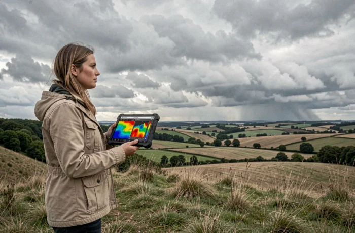
The resolution of a model refers to the size of the grid mesh of its calculation grid. The finer the mesh, the more the model can represent small-scale phenomena (isolated thunderstorms, coastal breezes, wind accelerations in a valley).
The European IFS uses a finer global mesh than that of the GFS. This difference results in a better representation of the terrain, land-sea contrasts, and temperature gradients near the coasts. The GFS, with its coarser mesh, smooths out these details more.
This coarser resolution of the GFS does not render it useless. For large-scale forecasts (movement of an Atlantic depression, position of a high-pressure system), both models show comparable performance in the short term. The advantage of the Euro is especially evident for localized variables: point precipitation totals, wind gusts in complex terrain, minimum temperatures in valley bottoms.
Reliability by Time Frame: GFS and Euro Do Not Decline at the Same Rate
All models lose reliability as the time frame increases. The pertinent question is not “which is reliable?” but “which remains reliable longer, and on which variables?”.
The advantage of the Euro over the GFS varies depending on the observed parameter and the time horizon. On the trajectories of tropical cyclones, the IFS tends to better anticipate the position of the depression center several days out, but it may smooth out maximum winds and marked frontal structures. The GFS, on the other hand, sometimes captures the raw intensity of a phenomenon better while placing its trajectory less precisely.
Neither model dominates the other across all parameters at all time frames. This is why professional forecasters systematically consult both, cross-referencing their respective ensembles.
What Convergence Between Models Reveals
When GFS and Euro agree on a five-day scenario, the probability that this scenario will occur increases significantly. When they diverge, caution is warranted: neither deserves blind trust.
This logic of cross-referencing is more reliable than choosing a “favorite” model. A marked disagreement between the GFS and IFS ensembles signals a chaotic atmosphere, where even the best model at the moment will produce errors.
Regional Models and the Limits of GFS and Euro for Local Forecasts
Even a high-performing global model struggles with small-scale phenomena. Thermal breezes, winds channeled in valleys, and isolated convective precipitation partly escape the global grids of both GFS and IFS.
For these situations, kilometric regional models provide added value that neither GFS nor Euro can offer alone. Among the most used in Europe:
- AROME, operated by Météo-France, covers metropolitan France with a very fine resolution, suitable for thunderstorms and mountain phenomena.
- ICON-EU, operated by the German DWD, covers Europe with a mesh size intermediate between global models and local models.
- HARMONIE, used by several Nordic meteorological services, specializes in high-latitude conditions.
These regional models are fed by boundary conditions provided by global models. A GFS or Euro that poorly places a large-scale depression will also degrade the regional forecasts downstream. The chain of reliability always flows from the global to the local.
Access to GFS and Euro Data: A Often Overlooked Criterion
The GFS remains a fully public system. Its raw data is available for free download four times a day, without usage restrictions. This openness explains its massive presence on consumer platforms like Windy or Ventusky.
Access to ECMWF data is more restricted. A subset is available for free access, but complete outputs require a subscription or institutional agreement. This difference in access directly influences the weather applications available: those that offer the Euro in premium versions partly charge for the cost of the data license.
For daily use (hiking, navigation, agriculture), the choice between GFS and Euro also depends on what your application actually displays. A free application using the GFS at full resolution may prove more useful than a premium application displaying the Euro with truncated data.
The reliability of a weather forecast is not limited to the name of the model displayed on the screen. It depends on the time frame, the variable consulted, the geography concerned, and how the data is presented. Cross-referencing the outputs of GFS and Euro, monitoring the convergence of their ensembles, and complementing with a regional model when the terrain or situation demands it: this combination produces the best-informed decisions.